Uploader's Comments
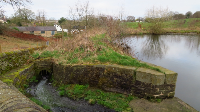
This is the dam wall but the area is out of bounds with an overflow channel at the foot of the photograph which makes finding the boundary stone near on impossible. with much of the vegetation dead at present (March 2024) I should have been able to see it from the public footpath alongside but no luck. the parish boundary does run along the public footpath but the historic NLS shows the boundary through the middle of the reservoir.
Uploaded by Colin Park on 18 March 2024


