Uploader's Comments
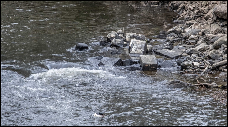
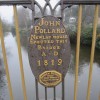
High river levels in February 2021 found a chink in the old grade-two-listed weir downstream of the bridge and eventually tore a gap in the middle. About 50 m upstream of the iron bridge the resulting low water level reveals the remains of what is thought to be a twelfth-century bridge built under the aegis of Kirkstall Abbey. This is manifested in shoaling in the centre of the river, and deposits of worked stonework on and near each bank. This picture is of the north bank. The far bridge is a railway bridge.
Uploaded by Lily West on 7 May 2021
