Approximate Location Map
Large Map »
Latitude: 51.8546 / 51°51'16"N
Longitude: -4.3071 / 4°18'25"W
OS Eastings: 241206
OS Northings: 219852
OS Grid: SN412198
Mapcode National: GBR DG.T89M
Mapcode Global: VH3LH.9NC3
Plus Code: 9C3QVM3V+R5
Entry Name: Quay wall and bollards
Listing Date: 19 May 1981
Last Amended: 28 November 2003
Grade: II
Source: Cadw
Source ID: 9555
Building Class: Gardens, Parks and Urban Spaces
ID on this website: 300009555
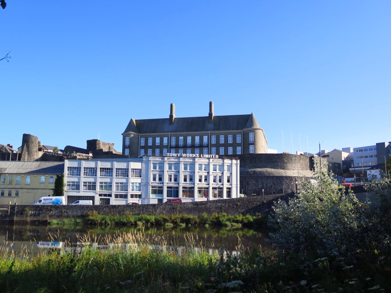
Location: Situated along the N side of the Towy, from c20m W of Carmarthen Bridge, running W or c300m.
County: Carmarthenshire
Community: Carmarthen (Caerfyrddin)
Community: Carmarthen
Built-Up Area: Carmarthen
Traditional County: Carmarthenshire
Tagged with: Wharf
Quay wall probably of several periods, with work on new quay 1807-8, the quay then being extended E from the Jolly Tar Inn to the (old) bridge (i.e. the eastern 2-thirds), and construction of a new dock 1809-10. A slip was built near the bridge in 1813, by Daniel Mainwaring. Marked on 1834 map as extending from the bridge down to Island House, opposite the end of Blue Street, the extent of the present quay. Bollards are probably early C20.
The port of Carmarthen was one of the chief ports of Wales until it began to decline in the C19. In 1353, Carmarthen was declared the sole Welsh Staple Port. The quay was first built in stone in the 1550s but what is visible must date from the early C19 with later repairs. The last steamers visited the quay just before the Second World War.
Retaining wall of stone laid in courses, with squared coping stones laid on edge, extending W as far as the flight of steps with iron gates at Island Wharf; double flight of steps before Jolly Tar PH. A series of about 33 fluted, tapering iron bollards with ball finials and threaded with iron chain railings is embedded in the coping of the quay wall; bollards made by the Priory Foundry, Carmarthen.
Included as stone-built quay wall, of historic interest for the maritime trade of the town.
External links are from the relevant listing authority and, where applicable, Wikidata. Wikidata IDs may be related buildings as well as this specific building. If you want to add or update a link, you will need to do so by editing the Wikidata entry.


Other nearby listed buildings
