Approximate Location Map
Large Map »
Latitude: 53.1893 / 53°11'21"N
Longitude: -2.8911 / 2°53'27"W
OS Eastings: 340557
OS Northings: 366172
OS Grid: SJ405661
Mapcode National: GBR 7B.3071
Mapcode Global: WH88F.K3JB
Plus Code: 9C5V54Q5+PH
Entry Name: Number 39 Street
Listing Date: 28 July 1955
Last Amended: 6 August 1998
Grade: I
Source: Historic England
Source ID: 1376085
English Heritage Legacy ID: 470073
ID on this website: 101376085
Location: Chester, Cheshire West and Chester, Cheshire, CH1
County: Cheshire West and Chester
Electoral Ward/Division: Chester City
Parish: Non Civil Parish
Built-Up Area: Chester
Traditional County: Cheshire
Lieutenancy Area (Ceremonial County): Cheshire
Church of England Parish: Chester, St Peter
Church of England Diocese: Chester
Tagged with: Building
SJ4066SE
595-1/4/68
28/07/55
CHESTER CITY (IM)
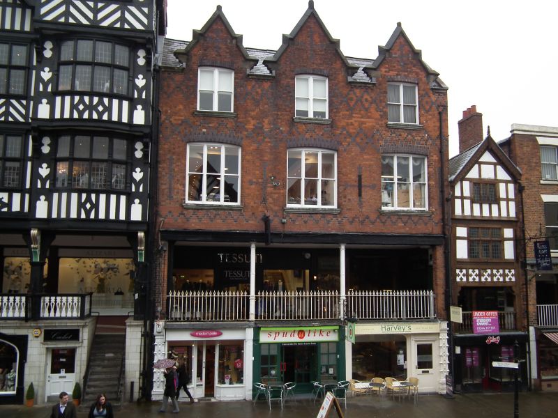
BRIDGE STREET AND ROW
(East side)
No.39 Street
(Formerly Listed as:
BRIDGE STREET
No 39 Street & No 45 Row (formerly listed as No 45A Row))
GV
I
Part of Roman bath-house, then undercroft of a town house, now
a cafe with partly disused cellar beneath. C2, late C13-early
C14, altered 1864 and C20. Squared sandstone rubble and
painted brickwork.
EXTERIOR: the cafe has a street-level floor inserted 1864;
with the cellar beneath it comprises a tall medieval
undercroft, perhaps a seld or one-product market, as
documented elsewhere in Bridge Street. The west cellar wall
contains Roman bath-house masonry; the north and east cellar
and cafe walls have C12-C13 squared rubble sandstone masonry;
an opening through the north wall, towards the east end, leads
down 8 steps, now concrete, to the undercroft formerly at rear
of No.37 Street (qv), with floor and lower walls of bedrock.
Towards the north a rock-cut sump, probably medieval, fed with
water, has a timber rail on column-on-vase balusters, probably
1864; some oak beams and joists. A rebated medieval doorway,
east, leads to remains of a Roman hypocaust, perhaps restored
when found during redevelopment in 1864. There are 27
surviving square, waisted columns in a rectangular chamber
formerly containing 4 rows of 8 columns. A large 4-course
stone corbel and a smaller corbel to each side in east wall of
cafe.
Listing NGR: SJ4055766172
External links are from the relevant listing authority and, where applicable, Wikidata. Wikidata IDs may be related buildings as well as this specific building. If you want to add or update a link, you will need to do so by editing the Wikidata entry.


Other nearby listed buildings
