Approximate Location Map
Large Map »
Latitude: 53.1068 / 53°6'24"N
Longitude: -2.0257 / 2°1'32"W
OS Eastings: 398373
OS Northings: 356618
OS Grid: SJ983566
Mapcode National: GBR 24P.BMY
Mapcode Global: WHBCH.V5JM
Plus Code: 9C5V4X4F+PP
Entry Name: Garden Walls of St Edwards Vicarage
Listing Date: 7 June 1972
Grade: II
Source: Historic England
Source ID: 1268611
English Heritage Legacy ID: 461616
ID on this website: 101268611
Location: Leek, Staffordshire Moorlands, Staffordshire, ST13
County: Staffordshire
District: Staffordshire Moorlands
Civil Parish: Leek
Built-Up Area: Leek
Traditional County: Staffordshire
Lieutenancy Area (Ceremonial County): Staffordshire
Church of England Parish: Leek St Edward the Confessor
Church of England Diocese: Lichfield
Tagged with: Wall
LEEK
SJ9856NW CHURCH STREET
611-1/4/41 (North side)
07/06/72 Garden walls of St Edward's Vicarage
GV II
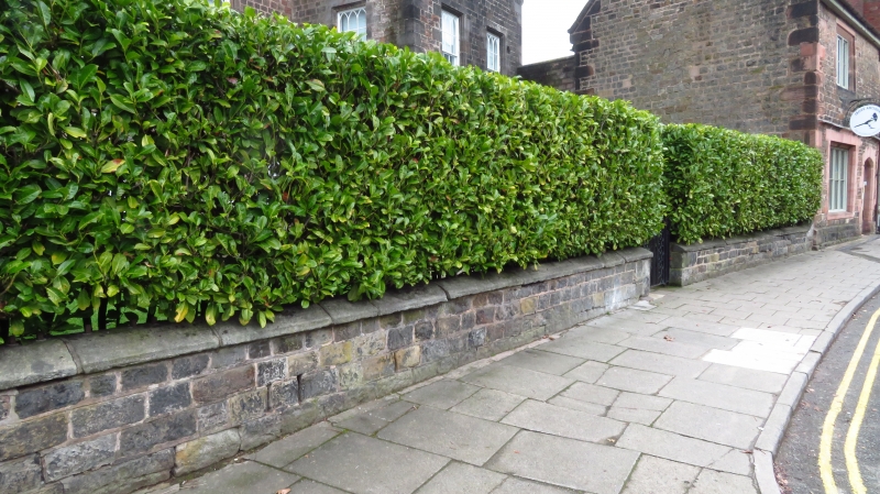
Garden walls to vicarage. Probably late C18. Coursed and
squared rubble with plain stone copings housing sawn-off
remains of iron railings.
Listing NGR: SJ9837356618
External links are from the relevant listing authority and, where applicable, Wikidata. Wikidata IDs may be related buildings as well as this specific building. If you want to add or update a link, you will need to do so by editing the Wikidata entry.


Other nearby listed buildings
